
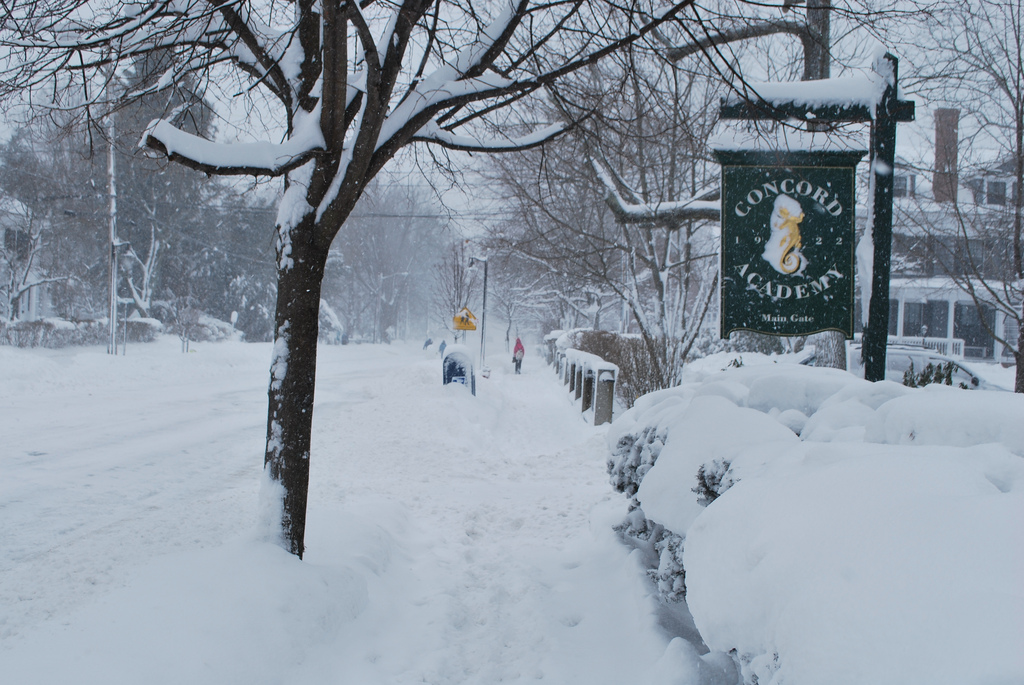
Concord, NH – Temperatures continue to fall to below zero by this afternoon and continue falling overnight.
Temperatures will not begin to rise again until after sunrise Saturday morning. The brutal cold combined with gusty winds will lead to widespread, dangerously cold wind chills beginning imminently in the mountains and into the morning to the south. The wind chills have the potential to be once-in-a-generation cold tonight into early Saturday according to National Weather Service.
Partly cloudy skies. Gusty winds during the evening. Low around -15F. Winds NW at 20 to 30 mph. Winds could occasionally gust over 40 mph.
The wind chill warning remains in effect until 1 PM EST Saturday.
Portions of south-central, southwest, and western Maine. Portions of central, northern, and southern New Hampshire.
The City of Concord has issued five winter parking bans so far this season – all within this last week (three city-wide storm event bans and two downtown maintenance bans). The snowstorm postponed trash and recycling collection by one day throughout the week, delaying Monday’s collection.
Sign up for the winter parking ban and trash delay alerts at http://www.concordnh.gov/notifyme or by downloading the MyConcordNH app. Alerts are also shared on the City website and social media.